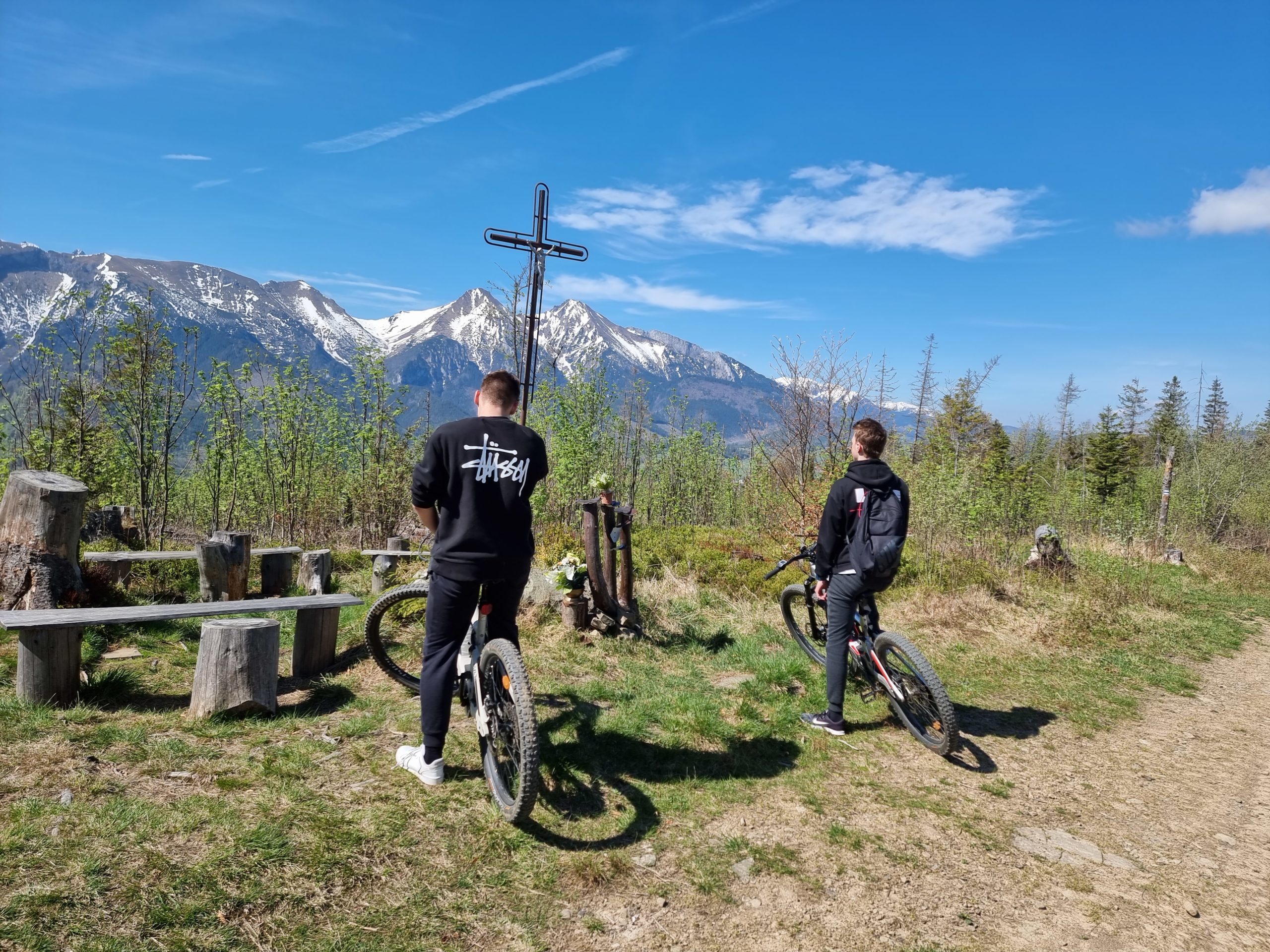
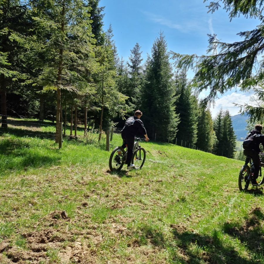
Zamagurie circuit

It is a route of moderate difficulty with a total length of up to 40 km. The ascents and descents are moderate almost throughout the entire route, with the exception of a short section between Malá Franková and Chodník v korunách stromov, when less skilled cyclists are advised to get off the bike and push it through the given section. The structure of the route is variable, with asphalt, gravel and dirt sections. The estimated time of the route is individual, depending on the cyclist's condition and set pace, but on average the given route will take you approximately 3.5 hours. There are many points of interest, viewpoints, gazebos for resting, information boards and establishments offering refreshments on the route. The route is freely downloadable in the Mapy.cz application, the direction of the route is also indicated on the information boards. For this route, we recommend renting Lectron trail bikes, which will provide sufficient comfort both on the road and off-road. During the route, cyclists have the opportunity to get to know the beauty of the Zamagurie border and the Belianske Tatras.

ROUTE PLAN:
• Start in the Strednica restaurant area
• Hike under the cable car to the ridge of Spišská Magura (possibility of refreshments at the buffet near Strachankovo, panorama of the Belianske Tatras)
• A kilometer long section along the ridge towards the asphalt road leading to Osturňa
• A moderate 7-kilometer descent on an asphalt road to the village of Osturňa (the longest village in Slovakia with a length of 9 kilometers)
• Passage through the village with the possibility of stopping and viewing the local folk architecture
• Moving to the village of Veľká Franková and then turning towards Malá Franková
• Break in the village according to your own needs
• The most difficult section of the route follows, which is the hike to the ridge, where we recommend less skilled cyclists to push the E-bike (E-bikes have a walking mode)
• Arrival at the upper station of the cable car of the Bachledka resort (possibility of refreshments, buying souvenirs, visiting the path in the treetops – Chodník v korunách stromov)
• Crossing of the ridge of Spišská Magura characterized by a wavy profile to the top station of the Ski Centrum Strachan cable car
• The final descent under the cable car and the end of the route at the Medvedí Brloh restaurant and return to Strednica
Basic information
Total length:
35 km
Approximate time:
3 hours
Difficulty:
medium
Share it with others:
Basic information
Total length:
35 km
Approximate time:
3 hours
Difficulty:
medium
Share it with others:
Zamagurie circuit
It is a route of moderate difficulty with a total length of up to 40 km. The ascents and descents are moderate almost throughout the entire route, with the exception of a short section between Malá Franková and Chodník v korunách stromov, when less skilled cyclists are advised to get off the bike and push it through the given section. The structure of the route is variable, with asphalt, gravel and dirt sections. The estimated time of the route is individual, depending on the cyclist's condition and set pace, but on average the given route will take you approximately 3.5 hours. There are many points of interest, viewpoints, gazebos for resting, information boards and establishments offering refreshments on the route. The route is freely downloadable in the Mapy.cz application, the direction of the route is also indicated on the information boards. For this route, we recommend renting Lectron trail bikes, which will provide sufficient comfort both on the road and off-road. During the route, cyclists have the opportunity to get to know the beauty of the Zamagurie border and the Belianske Tatras.

ROUTE PLAN:
• Start in the Strednica restaurant area
• Hike under the cable car to the ridge of Spišská Magura (possibility of refreshments at the buffet near Strachankovo, panorama of the Belianske Tatras)
• A kilometer long section along the ridge towards the asphalt road leading to Osturňa
• A moderate 7-kilometer descent on an asphalt road to the village of Osturňa (the longest village in Slovakia with a length of 9 kilometers)
• Passage through the village with the possibility of stopping and viewing the local folk architecture
• Moving to the village of Veľká Franková and then turning towards Malá Franková
• Break in the village according to your own needs
• The most difficult section of the route follows, which is the hike to the ridge, where we recommend less skilled cyclists to push the E-bike (E-bikes have a walking mode)
• Arrival at the upper station of the cable car of the Bachledka resort (possibility of refreshments, buying souvenirs, visiting the path in the treetops – Chodník v korunách stromov)
• Crossing of the ridge of Spišská Magura characterized by a wavy profile to the top station of the Ski Centrum Strachan cable car
• The final descent under the cable car and the end of the route at the Medvedí Brloh restaurant and return to Strednica

Other routes

Pozadie

Review

Follow us on Instagram
@ebikestrachan Show Instagram